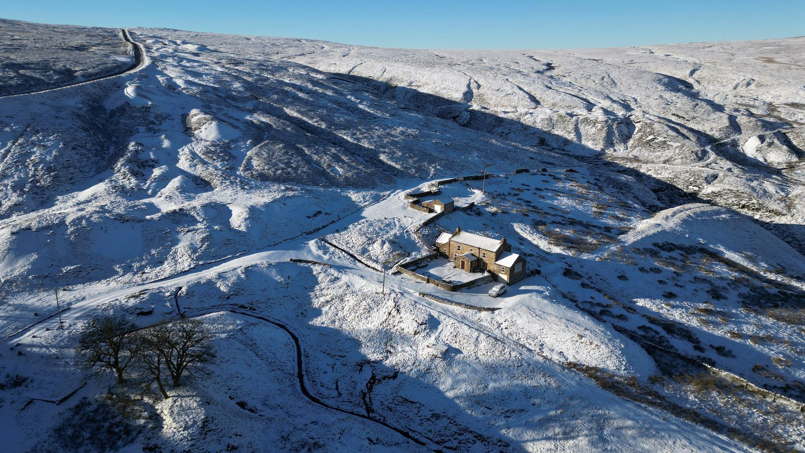
Up to 10 inches (25cm) of snow could fall on the UK later this week, as forecasters warn of travel disruption and possible power cuts.
With temperatures set to drop over the course of the week, the Met Office extended a yellow warning for snow and ice to more of Scotland, including Glasgow and Aberdeen.
Earlier, the forecaster had issued a warning the Highlands, Western Isles, Orkney, Shetland and parts of Argyll and Bute and central Scotland from 3pm on Tuesday until midday on Wednesday.
Check the forecast where you are
A yellow warning for snow is in place for Northern Ireland and much of Wales, as well as northern and central England, the Met Office said.
Up to 2cm is widely possible at low levels, 2-5cm on ground above 200m, and as much as 15-25cm above 400m, along with a risk of icy conditions.
The warning runs from 6am on Thursday for 24 hours and stretches from Cumbria and the Scottish border down to Stoke-on-Trent and Nottinghamshire.
All of northern and central Wales, including the Isle of Anglesey, is included in the warning.
There is a risk of power cuts, travel delays and some rural communities becoming cut off, the forecaster said.
The snow will ease later in the day and may turn back to rain or drizzle, especially in the south and east.
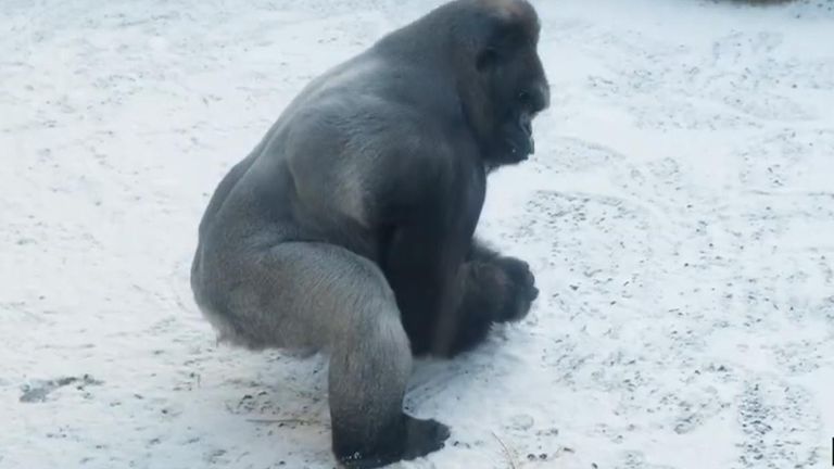
January: Gorilla makes snowballs at Belfast Zoo
Met Office deputy chief meteorologist Chris Almond said: “While the early part of this week will see some rain, at times heavy, gradually sinking southwards, there’s an increased signal for wintry hazards as we move through the week as cold air from the north moves over the UK.
“It’s from Thursday that the snow risk becomes more potentially impactful, as mild air attempts to move back in from the south, bumping into the cold air and increasing the chance of snow developing on the leading edge.
“While there are still lots of details to work out, the initial snow risk looks highest in northern England and Wales from Thursday.”
Read more from Sky News:
King’s cancer was ‘caught early’
Love Island star subjected to ‘vile threats’
Towards the end of the warning period the snow will turn into sleet and rain from the south.
Further warnings for ice could be issued later in the week, as temperatures drop below average for this time of year, the forecaster added.

Sophie Anderson, a UK-based writer, is your guide to the latest trends, viral sensations, and internet phenomena. With a finger on the pulse of digital culture, she explores what’s trending across social media and pop culture, keeping readers in the know about the latest online sensations.