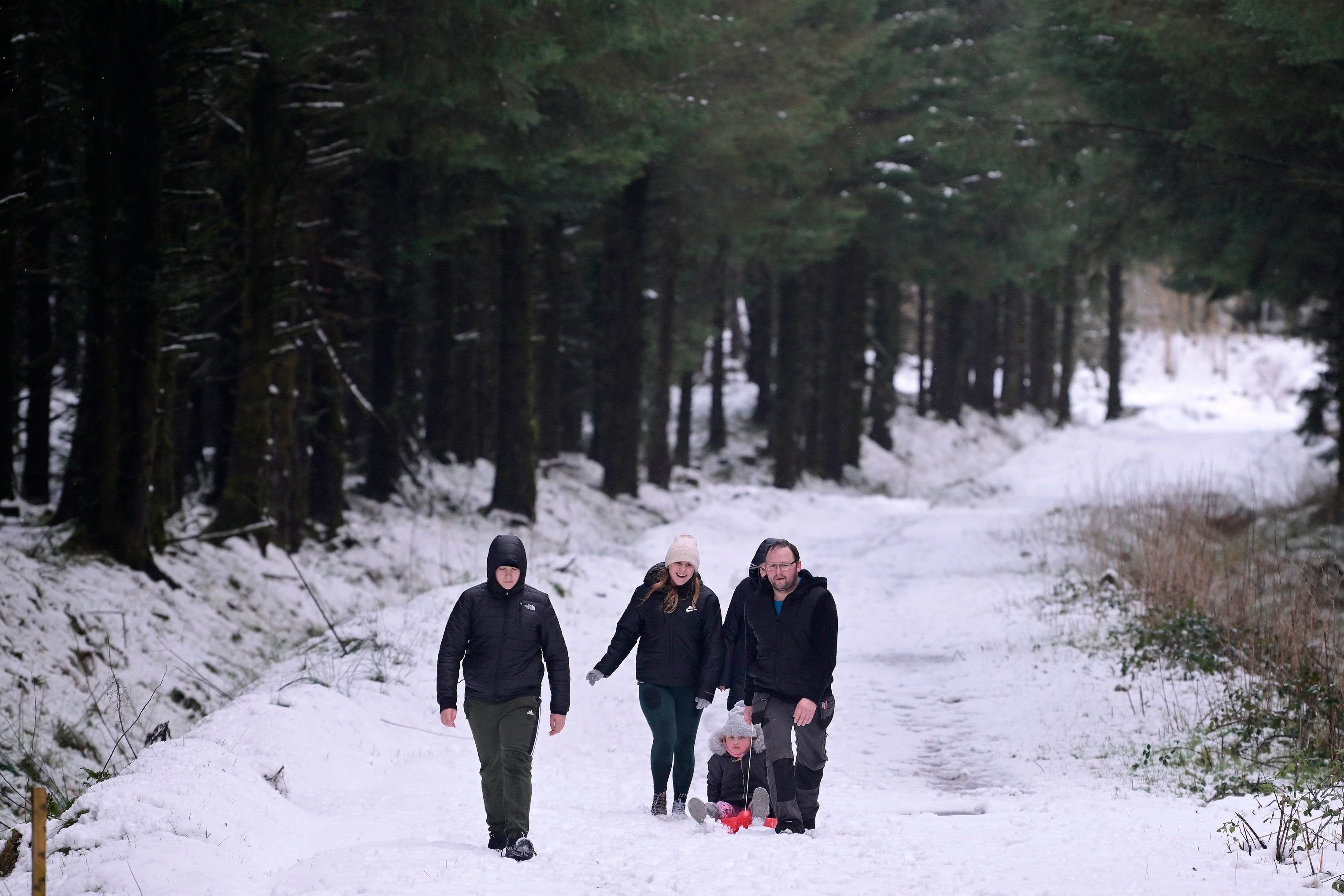
It is now forecasting freezing conditions and disruption on Wednesday and Thursday – the day of a major strike which is set to cripple public services here.
Forecasters warned of frequent snow showers “likely to cause further disruption to travel during Wednesday and Thursday”. Counties Antrim, Londonderry and Tyrone will be affected.
There are concerns that the strike could mean roads in Northern Ireland are not gritted.
An earlier yellow alert for showers, increasingly falling as snow, has now been extended, running from 3am on Monday to 9am on Tuesday.
The Met Office said on Sunday: “Brisk northerly winds will drive showers well inland across Northern Ireland on Monday, with these initially falling as snow over higher ground and sleet and rain elsewhere.
“However, as increasingly cold air spreads south, showers will fall as snow to all levels by late morning.
“Up to 5cm of snow is likely over higher routes such as the Coleraine Mountain road and Glenshane Pass.
“At lower levels, a few centimetres can be expected, with northern counties expected to see the more frequent showers. Ice will be an additional hazard for all areas into the evening.”
The PSNI told motorists on Sunday morning that they should exercise caution on the roads following freezing overnight temperatures, particularly in rural areas.
A spokeswoman said: “Reduce your speed, and increase your stopping distance from the vehicle in front.”
The Met Office also issued a warning for snow in Northern Ireland for a 48-hour period between midnight on Wednesday and midnight on Thursday heading into Friday.
“The heaviest and most frequent snow showers will be across northern Scotland during Wednesday morning, before developing across parts of southwest Scotland, Northern Ireland, northwest England and Wales later in the day,” it said.
“Snow showers are likely to continue during Wednesday night and well into Thursday.
“Whilst accumulations will vary due to the nature of showers, 2-5 cm of snow is expected in many places. Where showers become more organised, there is a chance some low-lying areas could see 10 cm in a few hours.
“Across northern Scotland over 20cm of snow could build up in a few locations.”
The Department for Infrastructure (DfI) was asked last week if road gritters would be operating – but it didn’t answer conclusively, saying there would be “widespread disruption” to public services under its responsibility but that “contingency arrangements will be put in place to mitigate potential impacts and to deliver limited essential services such as gritting”.
However, a union source said definitively: “There won’t be any gritting.”
It is understood that Stormont has some private gritters ready to provide cover, but at best they’re likely to be able to treat motorways, dual carriageways and a few of the busiest roads.
Snow is also forecast to hit parts of northern Scotland on Sunday as cold air from the Arctic brings chilly temperatures.
A yellow weather warning for snow and ice is in place all day on Sunday and into Monday, covering areas including the Highlands and the Orkney and Shetland Islands.
The Met Office warns parts of northern Scotland could see around 10cm of snow over the next two days.
Forecasters predict the snow will then move south over the course of the week, with the potential for wintry weather in parts of northern England on Tuesday.
Southern regions of the UK were said to be at “low risk” of snow.

William Turner is a seasoned U.K. correspondent with a deep understanding of domestic affairs. With a passion for British politics and culture, he provides insightful analysis and comprehensive coverage of events within the United Kingdom.