The Earth is, in many ways, an ever-changing jigsaw puzzle, and experts dedicate their entire careers to hunting down the pieces.
Now, a team at Utrecht University in the Netherlands has done just that – locating fragments of a continent that has long stumped the scientific community.
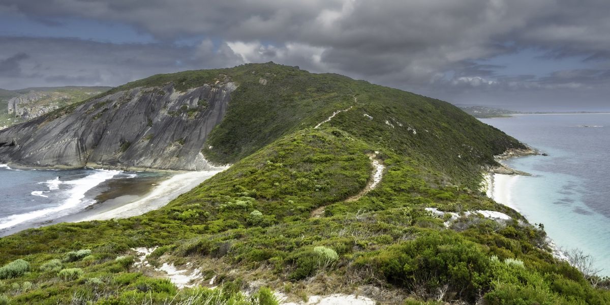
Geologists knew that Argoland, a 5,000km-long landmass, broke off western Australia some 155 million years ago.
The problem was, no one knew where it had gone.
The key to solving this mystery lay in a massive “void” that the continent had left behind: a basin hidden deep below the ocean known as the Argo Abyssal Plain.
The structure of the seafloor showed that Argoland must have drifted off to the northwest and ended up where the islands of Southeast Asia exist today.
However, surprisingly, no large continent was found hidden beneath those islands – just the remnants of small continental fragments surrounded by much older oceanic basins.
So the Utrecht University researchers set about piecing together what had become of the missing land.
Argopelago ended up where the islands of Southeast Asia are now locatediStock
In a press release, the team explained that another “lost” continent, discovered in 2019, had plunged into the Earth’s mantle, leaving just top layer behind. This then folded to form the mountains of Southern Europe.
And yet, curiously, Argoland left no such “folded” remains behind.
“If continents can dive into the mantle and disappear entirely, without leaving a geological trace at the earth’s surface, then we wouldn’t have much of an idea of what the earth could have looked in the geological past,” explained geologist Douwe van Hinsbergen, one of the co-author’s of the study.
“It would be almost impossible to create reliable reconstructions of former supercontinents and the earth’s geography in foregone eras.”
Van Hinsbergen then stressed that such reconstructions are “vital for our understanding of processes like the evolution of biodiversity and climate, or for finding raw materials”.
And, at a more fundamental level, “for understanding how mountains are formed or for working out the driving forces behind plate tectonics; two phenomena that are closely related”.
Van Hinsbergen and his colleague Eldert Advokaat decided to investigate what the geology of Southeast Asia revealed about Argoland’s fate.
“But we were literally dealing with islands of information, which is why our research took so long,” he said. “We spent seven years putting the puzzle together.”
 Argoland broke up into different fragments which the authors christened ArgopelagoEldert L. Advokaat, Douwe J.J. van Hinsbergen
He then noted that “the situation in Southeast Asia is very different from places like Africa and South America, where a continent broke neatly into two pieces”.
“Argoland splintered into many different shards. That obstructed our view of the continent’s journey,” he explained.
It was at this point that Van Hinsbergen and Advokaat realised that the fragments arrived at their current locations at around the same time – offering up a previously unknown, but crucial, fact about Argoland.
It was never a single, clearly delineated continent, but rather an ‘Argopelago’ of microcontinental fragments separated by older oceanic basins.
In this way, it resembles Greater Adria (which has now been almost entirely swallowed up by the Earth’s mantle), or Zeelandia, the largely submerged continent east of Australia.
“The splintering of Argoland started around 300 million years ago,” Van Hinsbergen concluded.
And now, its ancient shards lie deep beneath the green jungles of Indonesia and Myanmar.
Sign up for our free Indy100 weekly newsletter
Have your say in our news democracy. Click the upvote icon at the top of the page to help raise this article through the indy100 rankings

Dr. Thomas Hughes is a UK-based scientist and science communicator who makes complex topics accessible to readers. His articles explore breakthroughs in various scientific disciplines, from space exploration to cutting-edge research.


